
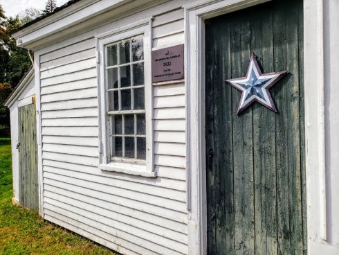
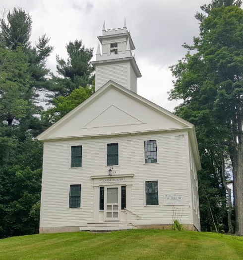
About forty minutes inland from Salem to the northwest are the towns of Andover and North Andover, both early settlements and bustling towns today. Due to the anniversary of the last executions of the Salem Witch Trials on Friday, I had Samuel Wardwell—who hailed from Andover, along with several other victims—on my mind, so I decided to drive there and see if I could find the location of his farm, which is always referred to as lying in the “southern” part of what was then one big Andover. That was my goal, but I got waylaid and distracted by the other Andover, the North Parish, which became North Andover in 1855. I hadn’t realized that North Andover was actually the first settlement: whenever I see North or South or East or West I assume that that designated location was settled after the adjoining town without the geographical adjective (is there are word for that?) But in the case of the Andovers, this assumption is incorrect. And because I assumed North Andover was later, I had always given it short shrift and driven through or around or by it—but this Saturday, the weather was fine and I had time so I drove into it, and spent a considerable amount of time in the vicinity of its perfectly pristine center village, in which a striking Gothic Revival Church overlooks one of the prettiest commons I have ever seen. It was the first day of Fall, and the North Andover Fall Festival was in full swing, so I parked the car and walked all around the old town center.


All of the houses above surround the large Common, and bordering it is the little building built for the North Andover Hay Scales Company, established in 1819, which Walter Muir Whitehill refers to as “a rustic corporation of twenty-five proprietors who not only missioned a public utility but had a good sociable time doing so”. (Old-Time New England, October 1948). And down the road apiece is the Trustees of Reservations’ Stevens-Coolidge estate, with its extensive gardens, and this intriguing brick double house.


On the other side of the Common, I walked past the North Andover Historical Society, a rather stately Greek Revival house and two “Salem Federals”, which really do have the air of displaced Salem houses, especially the Kittredge Mansion (1784), which looks just like the Peirce-Nichols House! Apparently its design is attributed to Samuel McIntire, which is complete news to me—must find out much more about this house.


 The Kittredge Mansion & gate in HABS photographs from 1940-41, Library of Congress.
Finally I came to the beautiful Parson Barnard House (1715), which was long believed to be the home of Simon and Anne Bradstreet and has been owned and maintained by the North Andover Historical Society since 1950. It is perfectly situated and colored for early fall reveries, and I could have sat there looking at it for quite some time, but Wardwell business was pressing, so I retrieved my car, drove over the other Andover, and took a really cool virtual tour of its downtown courtesy of the Andover Center for History and Culture.


 The Rundlet-May House (1807) and views out back from its second and third floors.


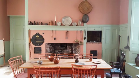
 First-floor parlors, hall and kitchen (with Rumford Roaster) and fire buckets, of course. I found several early 20th-century postcards of the house which referred to Samuel McIntire as the carver of the right parlor’s mantle (above), but I think this is just an illustration of the Salem architect and woodcarver’s fame in the midst of the Colonial Revival era.


 Second and Third Floors, including Ralph May’s 3rd floor study, with all of his stuff. Below: this “musical” decorative motif ran through the house—it caught my eye because the same motif is on one of my Fancy chairs. (the last photograph).


 Rocks Village and Bridge on the 1831 map of the newly-divided Newburys (Newbury, Newburyport & West Newbury), Leventhal Map Center, Boston Public Library.


 The Gideon Tucker Doorway and House (1804): Frank Cousins photographs from the 1890s; the Brickbuilder, January 1924; New York Public Library Digital Gallery, n.d.; Essex Institute postcard, MACRIS (1979) and present.
 “Eh bien, Messieurs! deux millions”: Napoleon displaying the treasures of Italy—in France, 1797, Library of Congress.

 Palpitations.


 Can you believe this amazing DOUBLE HOUSE!!!!!!


 Colonization in America visual wall map, 1966, prepared by the Civic Education Service, Washington, D.C.; David Rumsey Map Collection.

 The Jabez Howland


 Leyden Street, with the storm coming in.


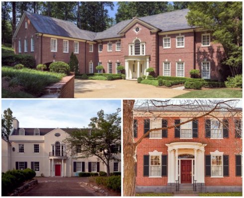 Detroit Publishing Co. photograph of Gardner-Pingree, 1906, Library of Congress; Albert MacDonald, Old Brick Houses of New England, 1917; Mansions of Massachusetts, 1977; the front parlor in the 1940s,houses in Atlanta and Brookline, MA supposedly inspired by the Gardner-Pingree.


 My pedestrian pictures, and a stunning photograph by Carol Highsmith in the 1980s, Library of Congress.


